Water Quality Links
Monitoring links for the Blue river Watershed:
Collecting, storing, and visualizing data for our communities and our rivers
Monitoring Organizations:
The following organizations collect targeted and baseline water quality data. This can include metrics such as river flow and temperature, dissolved oxygen, salinity, heavy metals, pH, hardness, alkalinity, macroinvertebrates, and more.
Organization links:
The following organizations collect targeted and baseline water quality data. This can include metrics such as river flow and temperature, dissolved oxygen, salinity, heavy metals, pH, hardness, alkalinity, macroinvertebrates, and more.
Organization links:
- USGS:
- CDPHE:
- River Watch: Data downloads and visualizations
- SWQC: Sites and data from EPA
- NRCS Snotel: Blue River
Databases:
Data for baseline water quality monitoring is stored and publicly available in the EPA's WQ Portal Database, CDPHE, AQWMS, and in private organizational databases.
Database links:
Data for baseline water quality monitoring is stored and publicly available in the EPA's WQ Portal Database, CDPHE, AQWMS, and in private organizational databases.
Database links:
- EPA Water Quality Portal: National database used by CPW, CDPHE, River Watch, and other organizations to store data and make it available for download and API
- AQWMS: This private database serves to allow smaller organizations to upload data who cannot meet the requirements of the EPA WQ Portal but have valid and relevant data to track and share.
- CDSN: Statewide legacy database
Data visualization tools:
Interactive maps help our communities and water managers make educated decisions about where vital resources should be allocated to ensure that we have healthy rivers and communities.
Database links:
Interactive maps help our communities and water managers make educated decisions about where vital resources should be allocated to ensure that we have healthy rivers and communities.
Database links:
- EPA Water Quality Portal: National database used by CPW, CDPHE, River Watch, and other organizations to store data and make it available for download and API
-
Maps: Targeted Monitoring
Targeted monitoring directs limited resources to the most critical locations, allowing for efficient problem identification and the effective implementation of corrective actions. These efforts are useful in case of incidents such as spills from hazardous material vehicles, wildfire and fire response, mine flooding and runoff, and extreme drought which can concentrate contaminants.
Maps: Recreational Information
This recreational map of the Blue River highlights some of the ways you can explore, enjoy, and connect with the river and its surrounding watershed. Kayaking information and links as well as access points and public lands are included below.
Recreation maps and resources:
Colorado: State and basin level Water regulations and predictions
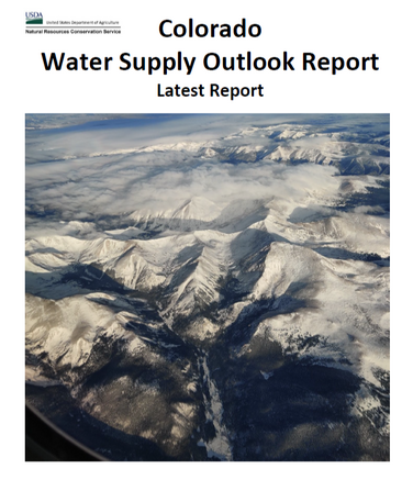
Colorado Water Supply Outlook Reports:
The Colorado Water Supply Outlook Report, also known as the Colorado Basin Outlook Report, is published monthly by the Colorado Snow Survey from January through June.
The report provides an overview of current water supply conditions across Colorado, including end-of-month summaries for the state’s major river basins. Reports are typically released within 10 days of the beginning of each month.